DELIBERATELY DISRUPTING DORMANT CONTAMINATION IS ONE RISK
What happens when it finds something to carry with it is another
Because contamination does not need to move by itself. Dust carries it through the air. Water inevitably carries it downhill.
And not all airborne particles behave in the same way.
Heavier particles may settle relatively close to their source, particularly in still conditions. But finer particles typically remain airborne far longer and travel much further, sometimes for miles — especially from an exposed site in windy conditions.
That distinction matters here.
The applicant’s own 2025 Ground Quality Risk Assessment, commissioned to investigate contamination on the development site, says historic fugitive dust from the nearby arsenic calciner travelled to this very site – at least half a kilometre – and significantly impacted its soils and subsurface ground.
So the history of this very landscape already answers one question.
FINE CONTAMINATED DUST CAN INDEED TRAVEL FROM ITS SOURCE. IT HAS DONE SO HERE BEFORE. IT WILL DO SO AGAIN.
And the approved development now introduces a multitude of new hazardous dust and airborne-particle generating activities onto the same contaminated hillside:
- Construction will excavate, cut, fill, expose and move tens of thousands of cubic metres of ground containing elevated arsenic and heavy metals.
- HGV movements will repeatedly track across the site, taking dust with them much further afield.
- Green waste and end-of-life wood will be unloaded, moved, shredded and stockpiled.
- Up to 10,000 tonnes of end-of-life wood a year will be processed, screened and shredded.
- Open compost windrows will be constantly turned.
- Those composting activities will release bioaerosols — tiny airborne biological particles and fragments.
- The applicant’s air-quality assessment says construction and operation are potentially significant sources of fugitive dust, particularly during windy conditions.
- The site sits high on an exposed, windy agricultural ridge predominantly surrounded by farmland, crops, homes and gardens.
THE QUESTION IS THEREFORE NOT SIMPLY “HOW FAR DOES DUST TRAVEL?”
It is also:
WHAT SIZE ARE THE PARTICLES?
WHAT EXACTLY DO THEY CARRY?
HOW LONG CAN THEY REMAIN AIRBORNE?
AND WHAT LIES DOWNWIND WHEN THEY MOVE?
The methodology used to assess human-health effects raises an obvious question of its own.
The applicant’s 2025 Air Quality Assessment adopts PM10 (coarser particles) as its health indicator for airborne particles.
It explains that this follows Institute of Air Quality Management guidance for mineral sites — such as quarries and other stony extraction operations — where dust impacts are considered more likely to involve coarser particulate matter.
The assessment then says:
“This rationale is also considered appropriate for dust generated by activities at the proposed Site.”
BUT THIS PLACE IS NOT SIMPLY A QUARRY OR MINERAL EXTRACTION SITE.
It would knowingly excavate highly contaminated former mining ground. It would process and shred up to 10,000 tonnes of end-of-life wood every year. And it would operate industrial open compost windrows.
So what about the finer airborne material those very different activities may generate?
Contaminated soil dust. Wood dust. Green waste dust. Bioaerosols.
That question matters because another document submitted for the development — the Environmental Risk Assessment covering the composting and wood-processing operation — describes wood processing as creating:
“friable dusts made airborne”
and records a:
“Direct pathway, high load during operations.”
Its proposed controls include restricting dust-generating activity when high winds cause airborne dispersion and preventing dust from:
“drifting beyond the site boundaries.”
IN OTHER WORDS, THE DOCUMENTS THEMSELVES RECOGNISE THAT AIRBORNE MATERIAL CAN MOVE… MUCH FURTHER.
AND WHAT ABOUT BIOAEROSOLS?
Bioaerosols are not ordinary dust.
They are airborne biological material associated with the process of composting — including bacteria, fungal spores and other microscopic biological particles and fragments — and are released particularly when compost is shredded, turned, screened and handled.
The Bioaerosol Risk Assessment submitted for this open-windrow composting operation says:
“Bioaerosols are small, light and easily transported during windy conditions.”
Yet it then relies on published sampling and the Environment Agency’s 250-metre approach to conclude that significant impact beyond that distance is very unlikely.
But 250 metres is not a wall.
NOR CAN A SINGLE FIXED DISTANCE ACCOUNT FOR THE VERY DIFFERENT BEHAVIOUR OF DIFFERENT AIRBORNE PARTICLES.
That inconvenient fact was specifically raised in a number of objections before permission was granted.
Scientific literature cited to the Council challenged reliance on 250 metres as a measure of real-world bioaerosol dispersal, with fine particles capable of remaining airborne for extended periods and travelling well beyond one kilometre under some conditions.
PARTICLE SIZE MATTERS.
WIND MATTERS.
TOPOGRAPHY MATTERS.
A coarse particle that settles relatively close to source does not behave like a fine particle capable of remaining suspended in air. And neither behaves according to an invisible boundary conveniently drawn 250 metres from a site.
This industrial waste processing is not taking place in a remote, enclosed or industrial estate location.
This is not a facility sitting in still air on flat, enclosed ground. It would sit high on an exposed, windy ridge above an environmentally sensitive and populated agricultural valley.
Modern dust-dispersion research shows why those site-specific conditions matter: wind speed, wind direction and complex airflow patterns can materially alter both where dust travels and how widely it spreads.
Here, the acknowledged prevailing south-westerly winds carry directly towards a valley whose topography has the potential to channel and trap airborne emissions rather than simply disperse them away.
So the question is not whether every particle will travel beyond 250 metres.
It is whether adopting an over-simplistic 250-metre imaginary boundary provides a realistic and meaningful reassurance here.
AND AIR IS ONLY ONE CARRIER…
WATER IS ANOTHER.
And here the contamination story becomes wider still, because the risk is not only what may be released from the contaminated ground beneath the development.
The waste operation introduces contaminated water pathways of its own.
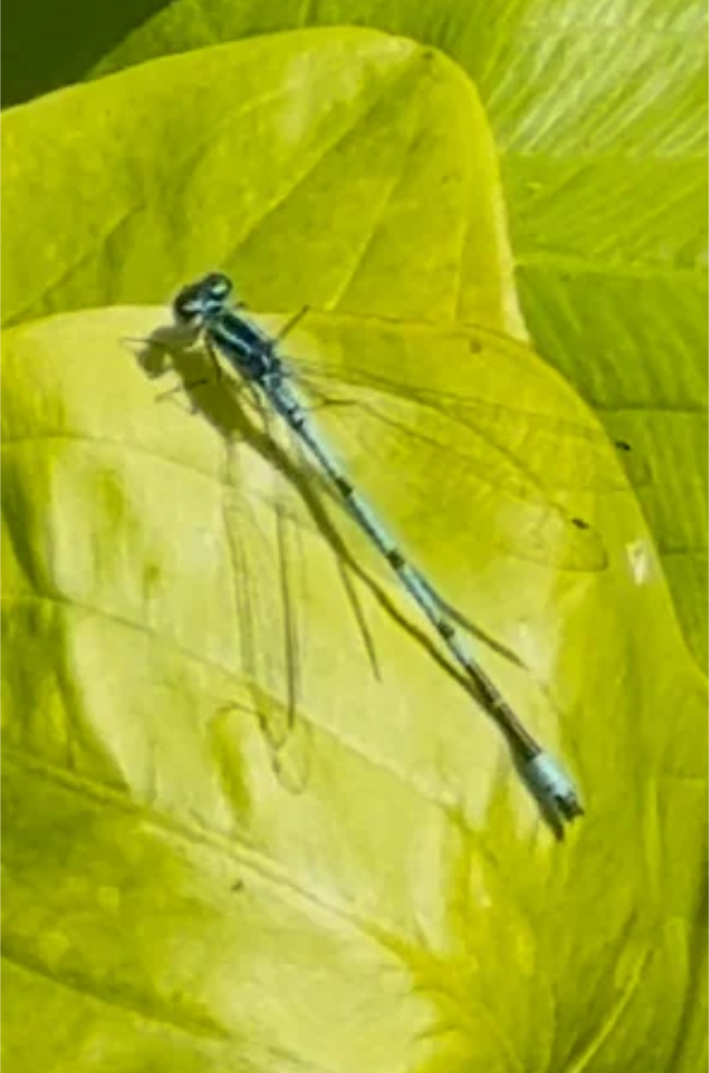
Male Variable Damselfly (Coenagrion pulchellum) - Roseworthy Valley, 2026
Damselflies and dragonflies are excellent bio-indicators of water health.
Highly susceptible to environmental pollution, particularly heavy metals, they are considered an important environmental indicator and are used by the scientific community to monitor pollution and other threats to ecosystems.
The applicant’s Atkins Flood Risk Assessment and Drainage Strategy identifies the central concern in stark terms:
“From the assessment of sources of flood risk, the main concern identified is the requirement for the development to not increase flood risk downstream from the proposed development or pollute the nearest watercourse.”
Yet there is a watercourse on the site which is identified, but not specifically addressed in the application.
The same assessment says:
“Run-off from the processed and unprocessed wood may contain contaminates”
and proposes separate collection and storage arrangements for that water.
A separate Environmental Risk Assessment for the waste operation identifies potentially polluting leachate from composting operations and sets out pathways through direct run-off, infiltration and groundwater baseflow.
One of its risk tables even considers run-off to adjacent farmland and direct ingestion of compost liquors by livestock, identifying potential:
“Poisoning; adverse health effects”
before mitigation. But the only proposed controls rely on adjacent land being under operator control, restricting grazing and excluding livestock.
BUT WATER DOES NOT RECOGNISE WHO OWNS THE NEXT FIELD. AND WATER TRAVELLING DOWNHILL WILL NOT DEFY GRAVITY.
And beneath all of this lies the contaminated former mining ground.
Click here to see ‘Arsenic And Heavy Metals Are Already Right Here’
THIS IS WHERE THE PATHWAYS CONVERGE.
The applicant’s 2025 Preliminary Risk Assessment of land contamination identifies the routes by which contaminants could move through this landscape:
- surface-water run-off;
- rainfall infiltration and recharge to aquifers;
- baseflow from aquifers to surface waters;
- groundwater flow towards nearby abstractions.
And it identifies the potential receptors too.
- A watercourse along the site boundary;
- The Praze/Roseworthy Stream;
- The Red River;
- Secondary aquifers beneath the site and an active groundwater abstraction only 133 metres east.
For some of these controlled-water pathways, that assessment said further information was required.
Yet the investigation that followed tested only shallow soil.
NO GROUNDWATER CONTAMINATION TESTING.
NO SURFACE-WATER CONTAMINATION TESTING.
That is especially striking because the earlier Atkins flood assessment had already identified the central concern: do not increase flood risk downstream and do not pollute the nearest watercourse.
ACROSS THE DOCUMENTARY TRAIL, THE PATHWAYS ARE THERE.
A CLEAR AND PRESENT DANGER.
Potentially contaminated wood run-off.
Leachate from composting operations.
Direct run-off.
Infiltration.
Groundwater baseflow.
Exceedance flows in rainfall events beyond the design assumptions.
And across this elevated site, the drainage scheme would collect, store, transfer and recycle millions of litres of dirty water by spray operation.
ALL ON THE SAME CONTAMINATED HILLSIDE.
SO WHAT HAPPENS IF IT MOVES?
This is where the individual reports meet the real landscape.
From this elevated ridge, the land falls sharply towards the Roseworthy Valley.
Water moves downhill through fields, wet ground, ditches and connected watercourses — onwards through the wider catchment towards the vulnerable Red River and ultimately to the protected coast at Godrevy.
This is why the arsenic and heavy-metal evidence cannot be separated from the dust evidence, the bioaerosol evidence, the water evidence, the waste operation, the agricultural land or the valley below.
These are not separate issues.
THEY ARE CONNECTED BECAUSE THIS LANDSCAPE IS CONNECTED.
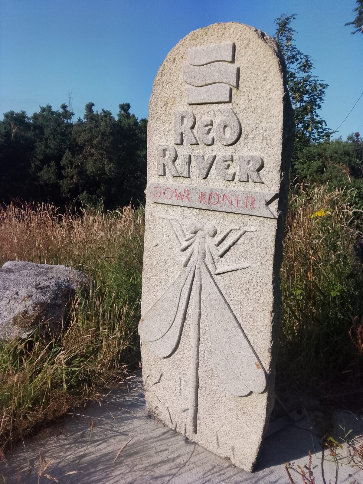
A granite way marker sculpture representing the Red River, located along a community pathway connecting Camborne to the Red River Valley
Contaminated ground beneath the site.
Fine particles carried by air.
Wood dust.
Bioaerosols.
Run-off from processed and unprocessed wood.
Leachate from composting operations.
Constant water spraying.
Surface-water run-off.
Infiltration into aquifers.
Groundwater baseflow into streams.
Exceedance moving downhill.
And below it all lie farmland, crops, homes, gardens, wildlife habitats and connected watercourses leading onwards through the Red River catchment towards Godrevy and the sea.
WHAT LIES DOWNWIND AND DOWNSTREAM IF ANY PART OF THAT CHAIN FAILS?
Because arsenic does not stop at a field boundary. Heavy metals do not recognise a planning red line. And contaminated water does not become miraculously clean because it has left the site.
The wider landscape is connected. Yet the assessments undertaken are not joined up. They treat each component as an independent piece.
They are not. And this is why the consequences matter so much.
THIS DEVELOPMENT IS IRREVERSIBLE AND THERE IS NO ROOM FOR ERROR.
Once this hillside is cut open, excavated and radically re-engineered, it cannot simply be put back.
Once contaminants escape offsite in fine dust, run-off or spray drift, they cannot simply be gathered up, filtered out and returned to the ground.
Once arsenic and heavy metals move into soils, aquifers, streams or the wider catchment, there is no switch that makes them inert again.